VirGeo® in Offshore Oil and Gas
Continuous Geo-data across the entire asset lifecycle.

Offshore oil and gas
An offshore oil and gas asset may operate for 20 to 40 years or more. Geo-data begins accumulating long before the first well is drilled and continues through development, operations, life extension and eventual decommissioning.
Seismic surveys, well records, shallow geophysics, geotechnical investigations, metocean data, environmental studies and inspection records are often managed across different teams, contractors and software platforms. Every decision comes out of some part of it: where to survey, where to site a well, where to route a pipeline, and years later, what to show the regulator when they ask why.
VirGeo® provides a spatially organised workspace that connects these datasets throughout the asset lifecycle, preserving both the information and the context behind key decisions.
Where it fits, stage by stage:
Regional screening and exploration
Field appraisal and concept development
Site characterisation and geohazards
Permitting, tender and FID
Engineering and detailed design
Installation and as-built
Operations and integrity management
Life extension and decommissioning
Across the lifecycle
The questions change as a field moves from exploration through production and eventually decommissioning. The information they rely on often remains the same.
Data arrives from different disciplines, at different resolutions, from different campaigns and contractors, often decades apart. Legacy seismic may provide the regional context, while recent site investigations define the engineering detail. The difference has to stay visible, because it decides how much weight a dataset carries in a decision.
No single specialist uses all of this information. Geoscientists, drilling teams, subsea engineers, pipeline engineers, integrity specialists, project managers and regulators all need access to the same site, often without access to the specialist software used to generate the data.
The reasoning behind a decision frequently outlives the people who made it. A pipeline route adjustment, a relocated well, or a geohazard mitigation strategy may be questioned years later. The answer remains in the data, if the evidence and context can still be found.
As fields mature, the volume of information only grows. What begins as regional seismic and legacy well records eventually expands to include detailed site investigations, engineering studies, as-built surveys, inspection campaigns and operational records. Survey campaigns have grown as well: more vessels can work a site at once, and the data can come ashore while they do.
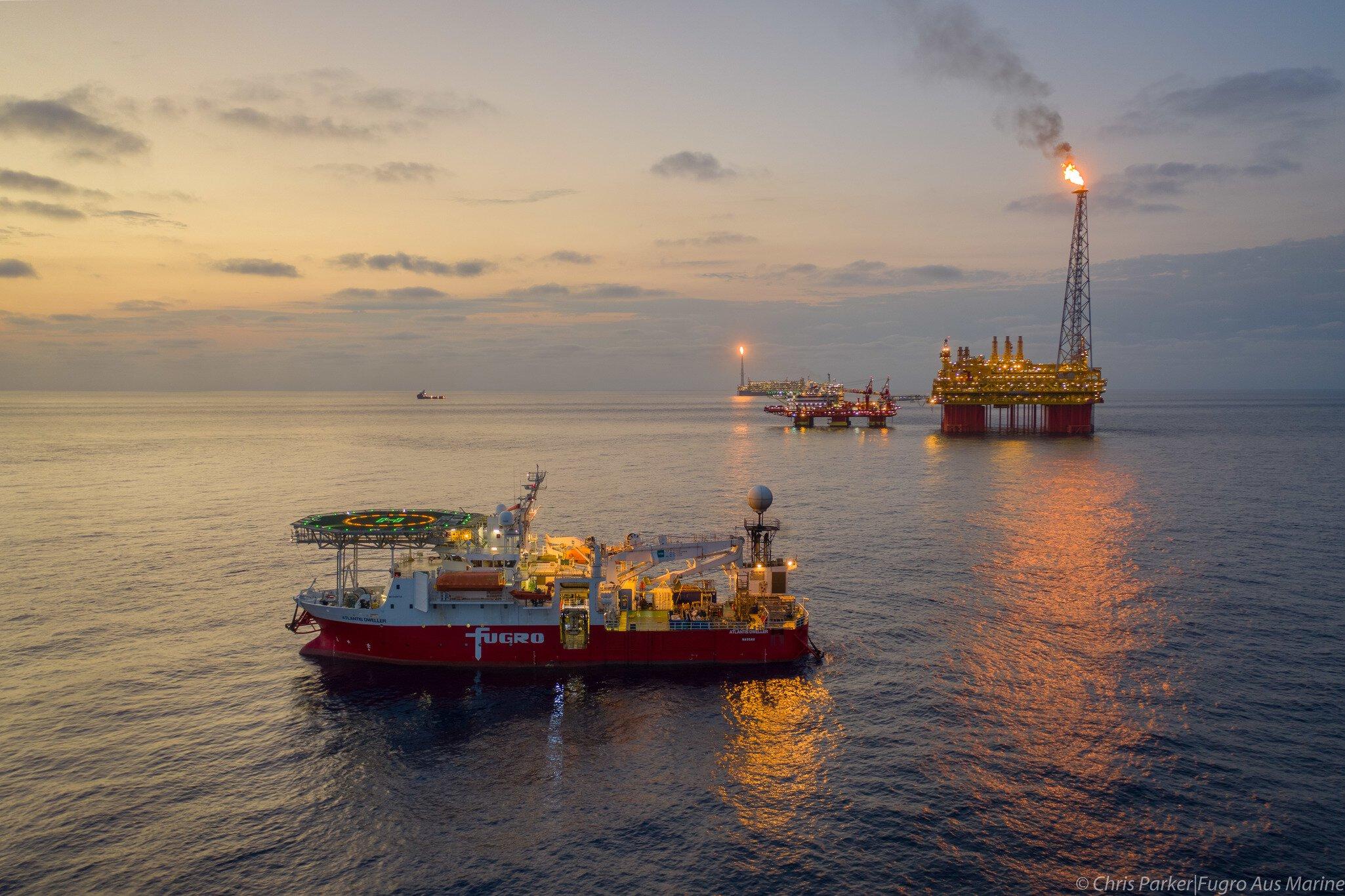
Regional screening and exploration
Regional screening combines seismic interpretation, legacy well information, regional geological understanding, environmental constraints and existing infrastructure to identify the most promising opportunities for development. Operators evaluate resource potential, access to export routes, drilling feasibility and development risks long before a final concept is selected. The supporting information is rarely held in one place. Seismic interpretation lives in specialist subsurface applications. Well records sit in separate repositories. Environmental and infrastructure constraints are often managed in GIS systems. Decisions are made by integrating evidence from all of them.
In VirGeo, regional datasets can be brought together within a shared spatial context. Legacy seismic, well information, interpreted prospects, existing infrastructure and environmental constraints remain connected and accessible, allowing development teams to evaluate opportunities using a common understanding of the area while maintaining visibility of data quality, source and vintage.
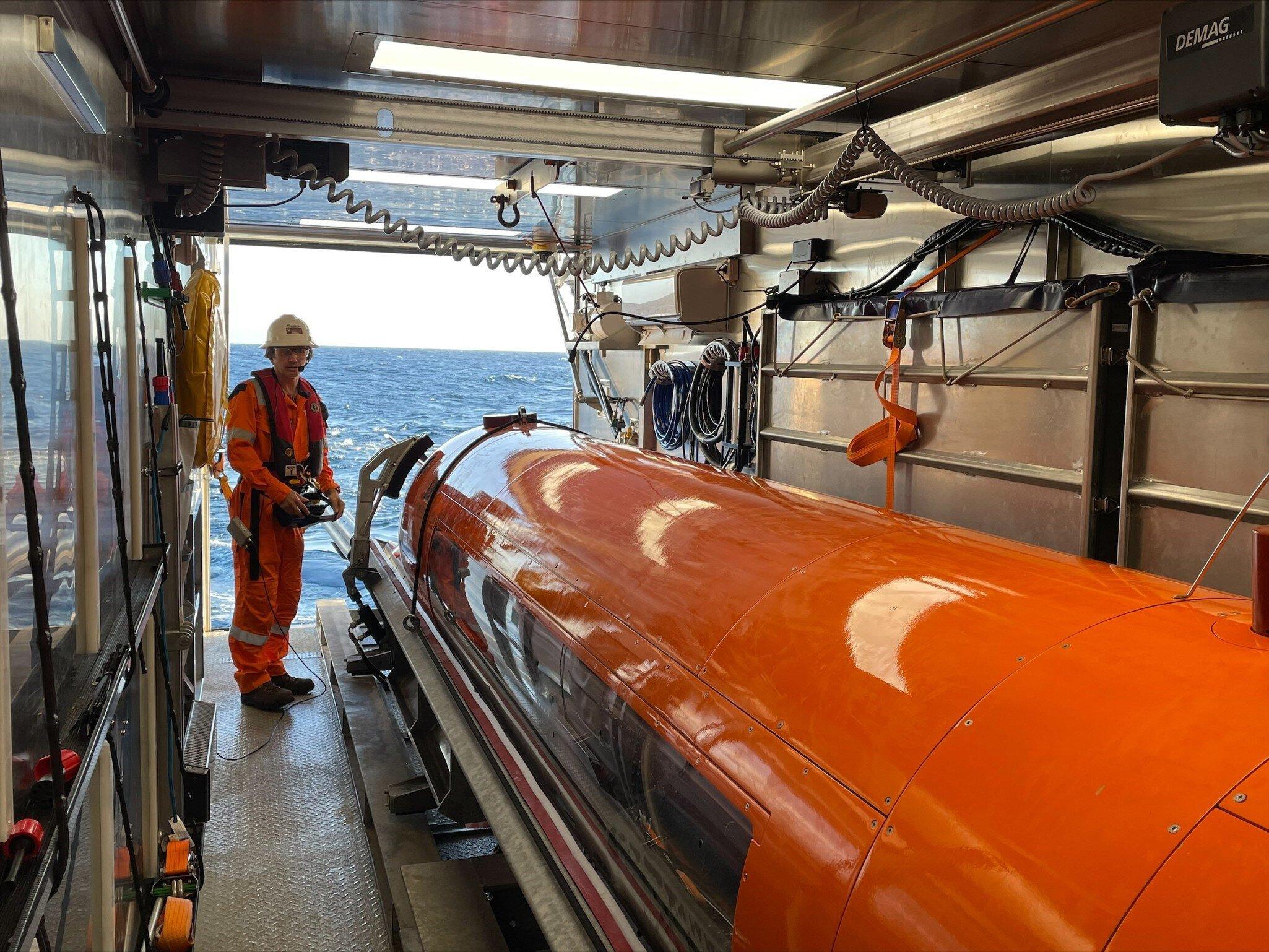
Field appraisal and concept development
Appraisal establishes what a discovery is worth, and concept development decides how to produce it: where the wells go, which facilities carry the production, and how it reaches an export route. Deepwater and shelf developments follow different patterns, and each pattern shapes the infrastructure and the site study that follows.
The reservoir work behind these choices belongs to the operator and stays in its own subsurface software. What the rest of the project needs from it is the outcome, as well locations and development concepts that keep changing while the surrounding evidence is still being gathered.
VirGeo has no role in the appraisal itself. Its part is the surrounding evidence: candidate concepts and well locations sit on the same map as the regional constraints and the hazards mapped so far, so a concept that crosses a known fault or an existing pipeline is visible while it can still change.
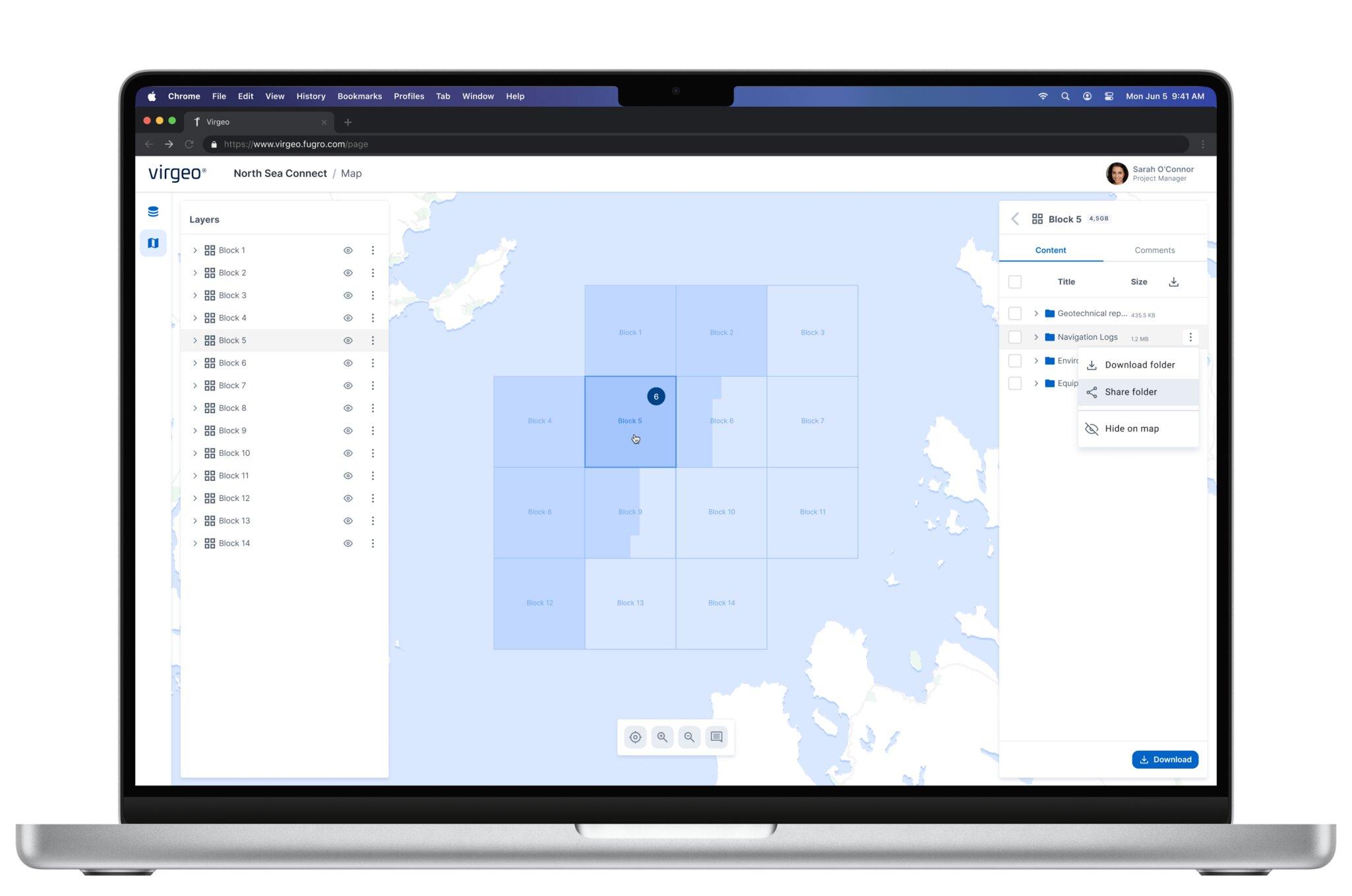
Site characterisation and geohazards
Once a development concept begins to mature, attention shifts toward the conditions that could influence drilling, subsea infrastructure and future operations.
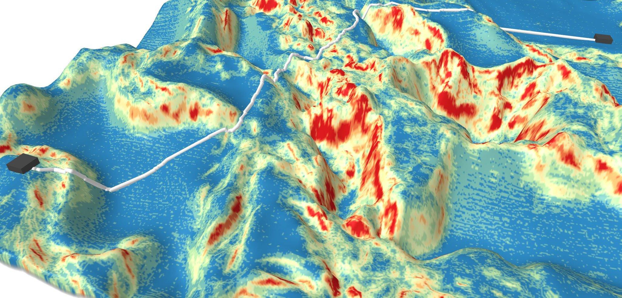
Site investigations assess seabed and shallow subsurface conditions, identify geohazards and support engineering decisions for wells, pipelines, flowlines, umbilicals and facilities. A well location may require assessment for shallow gas, faulting or unstable sediments. Pipeline and umbilical corridors must balance engineering feasibility with geohazard avoidance. Floating production facilities require detailed understanding of seabed conditions at anchor locations.
Multiple teams contribute to these decisions. Geohazard specialists identify and characterise risks. Survey teams collect new data. Route engineers develop infrastructure concepts. Reservoir understanding continues to evolve and may influence well placement throughout the study.
A campaign rarely runs as one piece of work. Geophysical, geotechnical and environmental programmes may work the site from different vessels on different schedules, and the data comes back on different clocks. Satellite connectivity now lets large datasets leave the vessel while the campaign is still running, for remote operations centres where onshore teams process and analyse them. On the older pattern the data came ashore on a hard drive, and the first look at a hazard came after the campaign had ended. Site data is often on the critical path to the next decision, so the time it takes to reach the team is time the decision waits.
VirGeo provides a common operating picture where survey results, mapped hazards, infrastructure concepts and revised well locations can be viewed together, helping teams maintain alignment as the project evolves. Fugro's digital workflows feed the workspace directly, and data from other contractors goes in without reformatting.
What comes off the vessel and through the onshore teams reaches the project team as the campaign runs, and clients can open it from any device in near real time. If a hazard appears at a candidate well location, the team sees it while the vessel is still on station, and the question is whether to look again now, not whether to mobilise again.

Permitting, tender and FID
Ahead of FID, the operator submits the study to the authority that granted the licence, and a period of review and revision follows: more information behind the engineering, a different placement for part of the infrastructure, until approval to move ahead comes through.
In parallel the operator runs the tender. Pipeline, mooring and other contractors each receive the data that bears on their scope, the bathymetry, the mapped hazards and whatever is known about the development so far, and judge from it whether the water depth, the site conditions and their own equipment fit the work. Both streams draw on one master dataset. The regulator gets the latest version and the reporting; each bidder gets a snapshot scoped to its package. Versions have to be reconciled, and someone has to keep track of what was sent and who received it.
In VirGeo a shared view can give a regulator or a bidder a consolidated subset of the data as a guest, scoped to what they need. VirGeo has previously been used as the collaboration layer between operators, contractors and regulatory stakeholders, supporting the controlled exchange of digital project information alongside traditional reporting and documentation requirements.
The tender and the regulatory review can run from the same workspace, so both start from the same data. A log of what went out and who received it is planned.
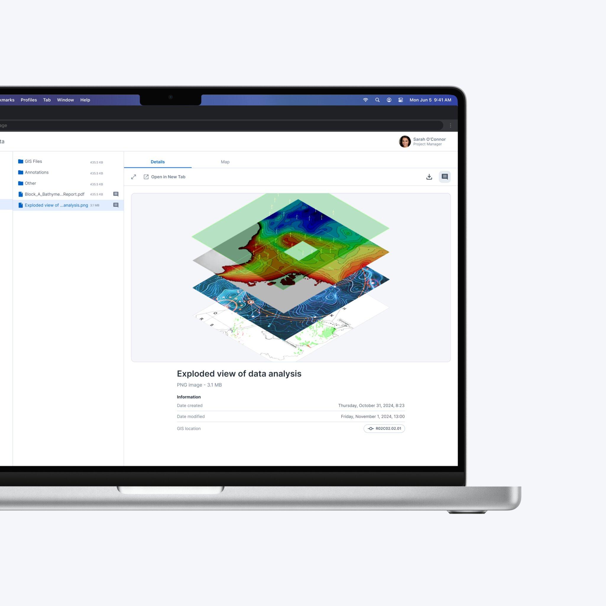
Engineering and detailed design
Detailed design turns the geohazard and ground information into specifications for pipelines, moorings and foundations using specialised engineering software and industry standards. The cost lever is uncertainty. Where site data is limited, designs typically carry greater conservatism, and conservatism is measured in steel, installation complexity and vessel time.
Engineering analysis is performed within specialised design applications and contractor workflows. VirGeo complements these activities by providing a controlled project environment where design deliverables, calculations, models and supporting documentation can be linked to the survey and ground data from which they were derived. This ensures that the rationale behind key engineering decisions remains accessible to project teams, operators and future stakeholders throughout the asset lifecycle.
Construction Support & Installation
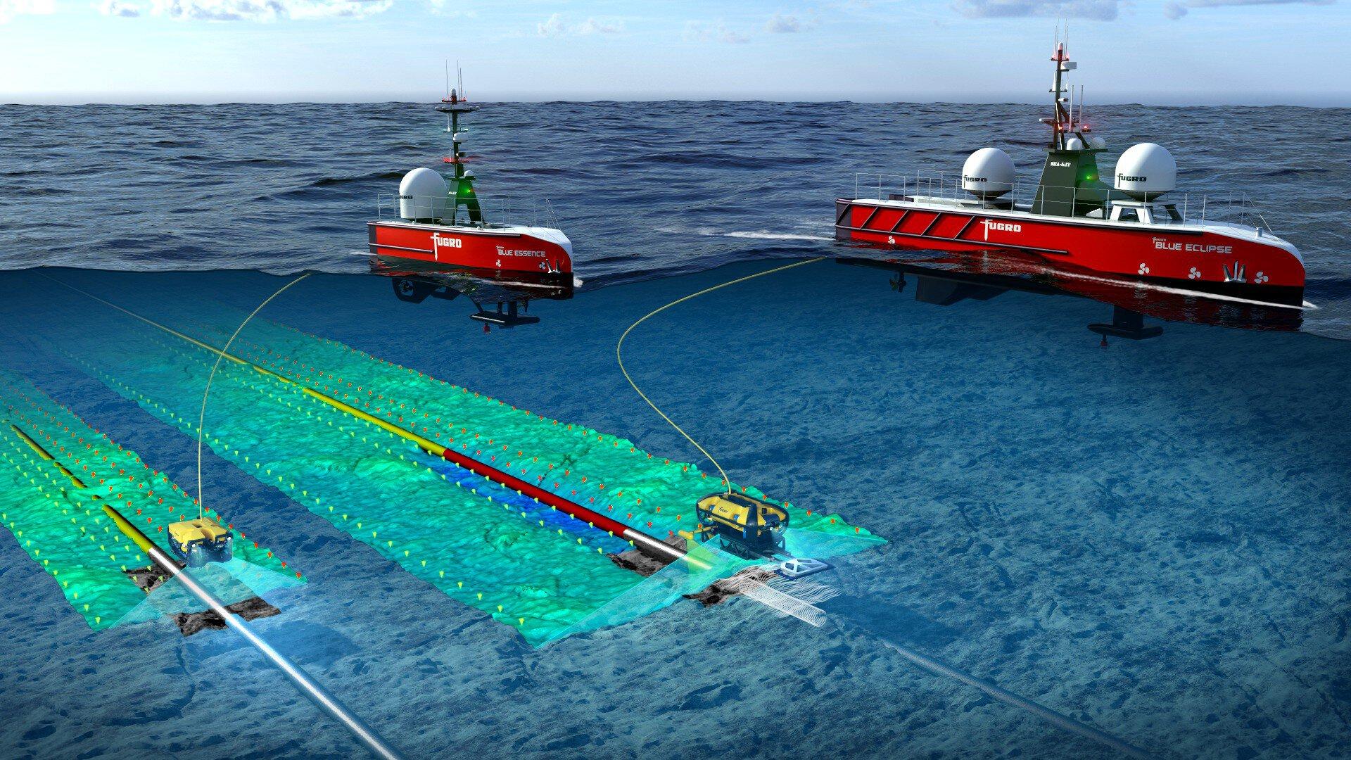
During installation campaigns, multiple contractors, vessels and stakeholders need access to current operational information. VirGeo can provide a shared operational view that brings together live survey displays, ROV video feeds, vessel positions, daily progress reports, operational updates and key project deliverables within a single workspace.
The workspace can be deployed aboard installation vessels, project offices or client locations, providing visibility across one or multiple campaigns.
Access can be extended to owner-operators, EPC contractors and key subcontractors, helping ensure that everyone is working from the same operational picture.
VirGeo does not replace the specialist systems used to execute positioning, survey or construction operations. Instead, it acts as a collaboration and information-sharing layer, providing a common environment where operational information, project records and supporting evidence can be accessed by authorised stakeholders throughout the installation phase.

Installation Verification & As-Built
Ahead of installation, site clearance surveys confirm seabed conditions along the planned infrastructure route.
Following installation, post-installation surveys establish the as-built condition of the asset, creating the baseline against which all future inspections are compared.
The as-built record can be preserved alongside the survey data, hazard assessments, engineering outputs and construction records that preceded it. This creates a traceable project history from initial site investigation through installation and into operations, ensuring that the rationale behind design and construction decisions remains accessible throughout the life of the asset.
Operations and integrity management
During operations, inspection and monitoring programmes create an increasingly valuable record of asset condition. Pipelines, flowlines, umbilicals, foundations and subsea structures are inspected repeatedly throughout their service life. Integrity teams are interested not only in current conditions, but also in change over time.
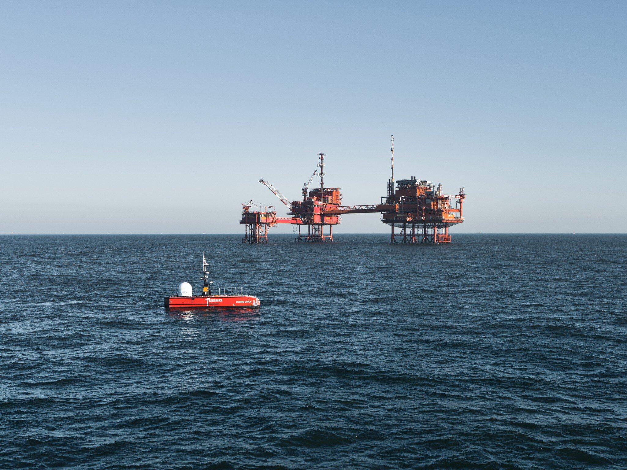
Free spans, scour, exposure, marine growth, corrosion indicators and repair activities all need to be understood within their operational and spatial context. Where inspection once ran on a fixed timer, uncrewed surface vessels (USVs) now make smaller, asynchronous campaigns possible. The vessel is controlled remotely, so the team running the campaign needs a way to see what it is doing.
VirGeo helps connect inspection data, survey results, as-built information and operational records within a shared environment. It already gives the operational picture of a campaign in progress: the live video feed from the USV, and the vessel's position with its track over the last 24 hours.
As inspection capabilities continue to evolve, this creates a foundation for comparing conditions across campaigns, maintaining decision traceability and supporting regulatory reporting requirements.
Life extension and decommissioning
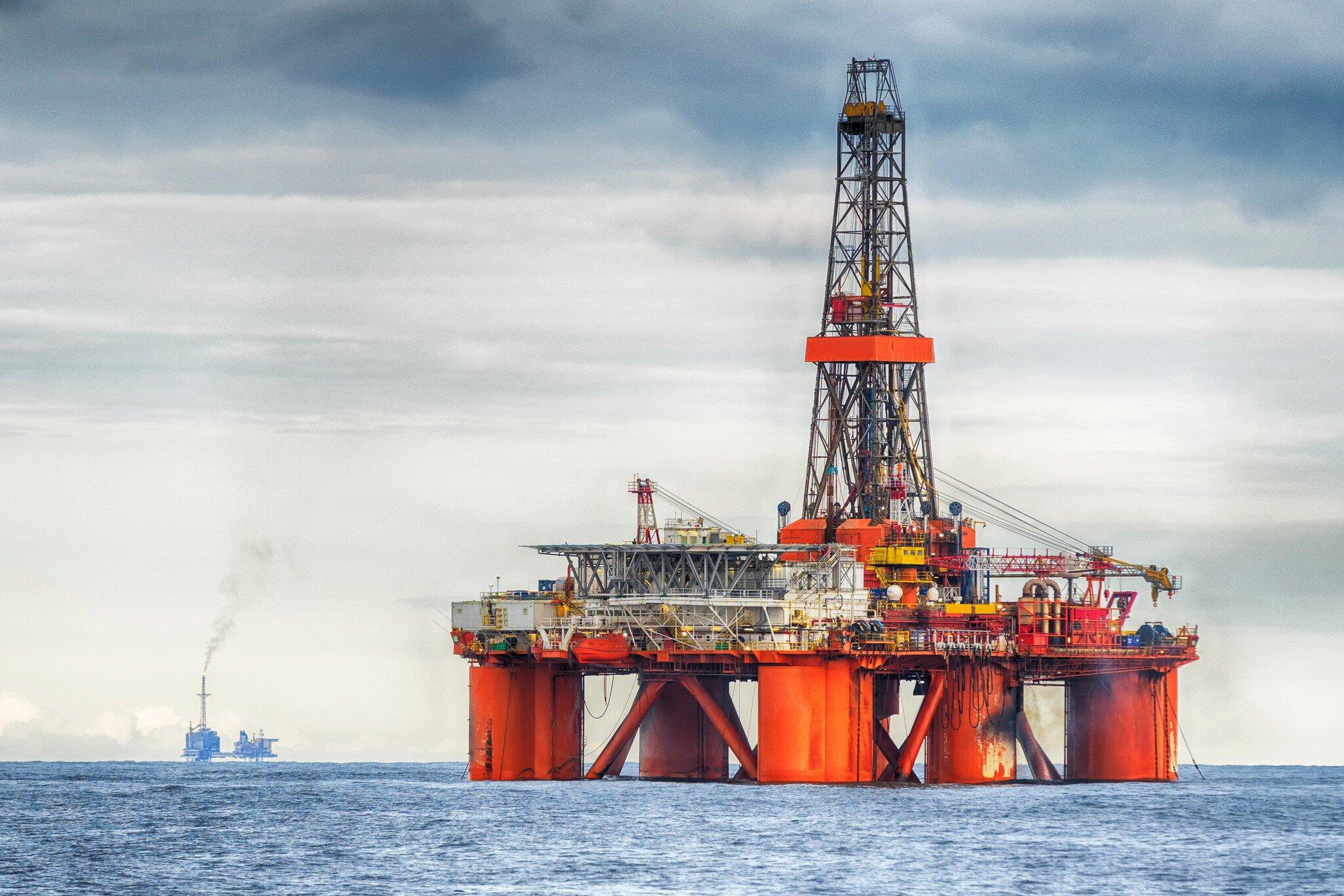
At end of life the options are to extend, by repairing or replacing components, or to decommission. Extension is a regulated decision, made against the asset's original design life.
Decommissioning goes to the regulator as a plan, as the study did before FID, drawing on much of the same evidence. An FPSO can disconnect and leave; pipelines, anchor piles and wellheads stay on the seabed unless they are removed.
The plan sets out what is removed and, where the regime allows, what stays in place, for instance as an artificial reef; how any historical significance of the site is preserved; and what environmental mitigation applies. Both cases rest on the same record: every anomaly tracked, every inspection campaign, the latest as-builts, the work orders, and the baseline from before the asset went in, much of it collected decades earlier in formats that were current when the licence was granted.
If VirGeo has been the workspace since screening, the baseline surveys, the as-built and the inspection history are already in one place when either case is made. Whether that record is still findable and readable gets decided much earlier in the lifecycle than anyone making either case would like. Anomaly history and work orders join it as the inspection capabilities described above arrive.
What survives the handovers
A field this long outlives its teams. Exploration hands over to development, development to engineering, engineering to installation, installation to operations, and the asset itself may change owners along the way.
What carries across every handover is the Geo-data record. How much of it survives depends on where it lives.
VirGeo®
VirGeo® integrates geo-data management, insights and visual geospatial context in a single location for connected workflows and collaboration across project teams.
Single source of truth
eliminates version confusion, data silos, and scattered FTP deliveries
Accelerated decision-making
Real-time data access replaces waiting for periodic deliverables
Geospatial context
Every file linked to a map location for intuitive navigation and discovery
Enterprise-grade security
SSO authentication, defined access control, and full audit trail
Lifecycle continuity
Data persists across personnel changes, vendor transitions, and project phases
Lower operational effort
Automated workflows replace manual file management and email-based sharing
Let’s Make Your Geo‑Data Work Smarter
See VirGeo® in action and explore how it supports secure delivery, enterprise governance, and long‑term data value—built on Fugro’s domain expertise.
Book a demo

Platform modules
VirGeo®’s modular platform allows you to configure each workspace according to the asset’s needs.
Data Exchange
Securely upload, organise, and share geo-data files in a structured, project-based workspace
- Link files directly to GIS locations on an interactive map, enabling intuitive spatial navigation, click a location, instantly access all associated deliverables.
- Preview GeoTIFFs, multibeam bathymetry, videos, PDFs, and other specialist formats directly in the browser - no desktop software or plugins required.
- Apply granular access permissions at folder or file level, supporting role-based access for clients, contractors, and internal teams.
- Bulk upload via drag-and-drop, with options for automatic metadata extraction.

GIS & Web Maps
Add web maps into your workspace - showcasing GIS data directly for quick decision making.
- Navigate multi-layer maps with intuitive controls, built-in legends, feature pop-ups, and analytics tools (distance, area, elevation profiles).
- Visualize geophysical and geotechnical survey data, geological features, and environmental layers spatially alongside your geo-data for complete project context.
- Overlay data from multiple surveys or time periods for change detection.
- Configurable base maps and coordinate reference systems to suit regional project requirements.
Survey Progress & Dashboards
Connect live data sources for real-time operational dashboards that keep all stakeholders aligned.
- Track survey progress by work package, survey line, vessel, or any custom grouping.
- Configure interactive charts and data tables to display the exact attributes, status categories and thresholds that matter to your project.
- Embed vessel and other survey vehicle tracking for near-real-time insights on survey project status and progress.
- Designed for active data acquisition management, from geotechnical and geophysical surveys to cable route and UXO programmes.

Let’s Make Your Geo‑Data Work Smarter
See VirGeo® in action and explore how it supports secure delivery, enterprise governance, and long‑term data value—built on Fugro’s domain expertise.
Book a demo