Case Studies
VirGeo® is in active use across energy, infrastructure and water projects, improving Geo-data workflows. Involved in activities such as offshore wind site investigations, grid connections, tunnel monitoring, national-scale coastal mapping, and many more. Read the details of each application below.
Site Characterisation for Revolution Wind
Ørsted and Eversource contracted Fugro to characterise a 500 km² site with boulder-strewn glacial ground off Rhode Island.
VirGeo® gave every project stakeholder 24-hour access to the Geo-data, with near real-time updates supporting early calls on cable rerouting and foundation design.
Ground Investigation for Coire Glas Pumped Storage
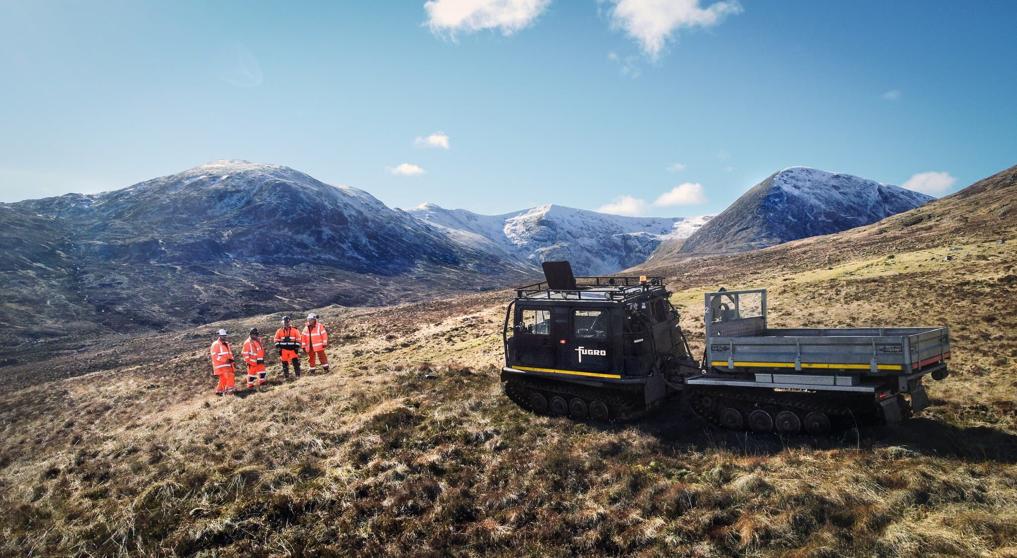
Coire Glas in the Scottish Highlands would be the UK's first large-scale pumped storage development in over 40 years, with a capacity of up to 1,500 MW.
Drilling equipment reached the site by helicopter; the geotechnical data reached SSE Renewables and its consulting engineers through VirGeo®, in near real-time.
Four Years of Surveys for Atlantic Shores
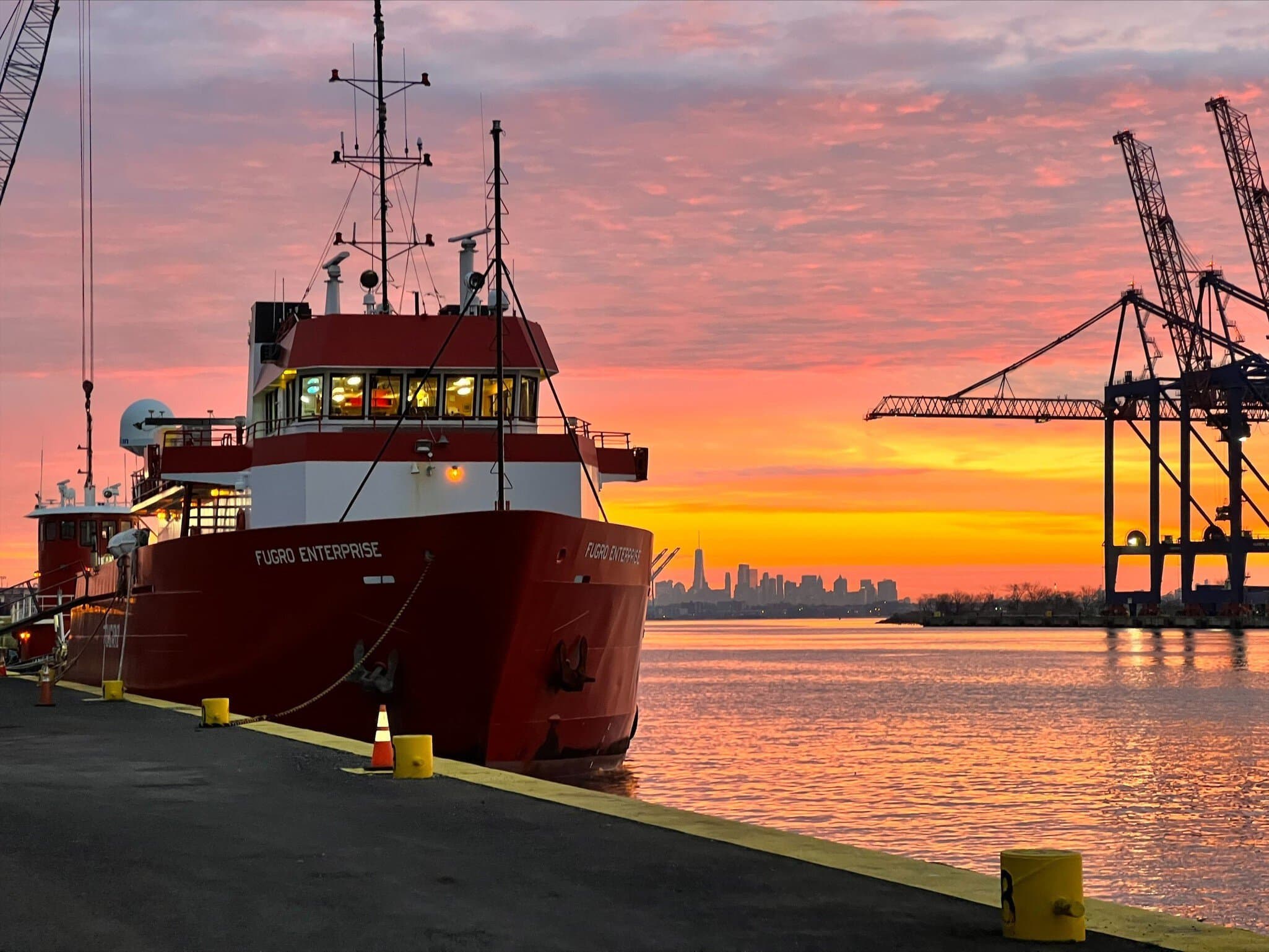
Site assessment across three lease areas totalling 1,000 km² produced more than 100 TB of Geo-data.
Fugro worked with Atlantic Shores to develop VirGeo® to manage that volume, raising survey efficiency by 30% and enabling the first digital deliverables to US federal regulators.
Mapping Seagrass Along the Entire Italian Coast
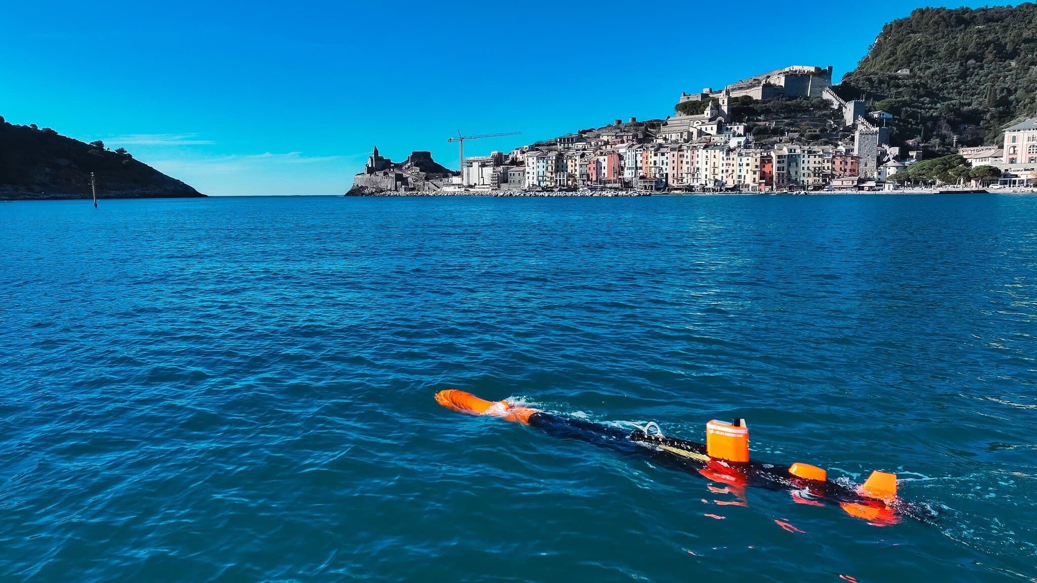
For Italy's Marine Ecosystem Restoration project, ISPRA receives Fugro data from airborne lidar, multibeam vessels and underwater drones covering more than 10,000 km².
VirGeo® brings those streams into a single source that ISPRA's teams use without GIS experience or specialised software.
Let's Make Your Geo‑Data Work Smarter
Explore how VirGeo® supports secure delivery, enterprise governance, and long‑term data value; built on Fugro's domain expertise.
Book a demoValidated CPT Data Within the Hour
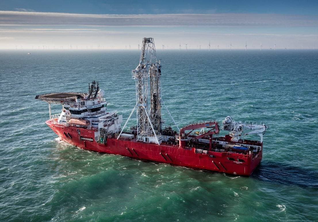
Martijn Klein describes the digitised marine cone penetration test (CPT) workflow that streams validated CPT data into VirGeo® within 60 minutes of acquisition; the industry norm is 12 to 24 hours.
In a single month, 96% of around 2,000 marine CPTs ran through the fully digital workflow.
From Offshore Acquisition to Delivery
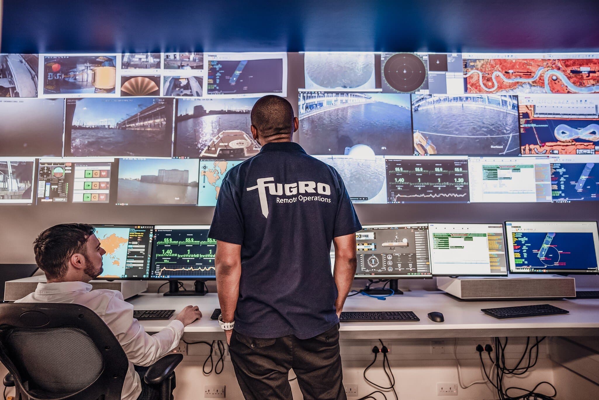
Today's offshore wind sites routinely generate datasets above 30 TB, acquired by up to five vessels working simultaneously.
Mike Liddell and Martin Galavazi explain how Fugro's remote operations centres process that volume onshore and deliver the results through VirGeo®, in near real time, on any device.
Geo-data for Foundation Design, Faster
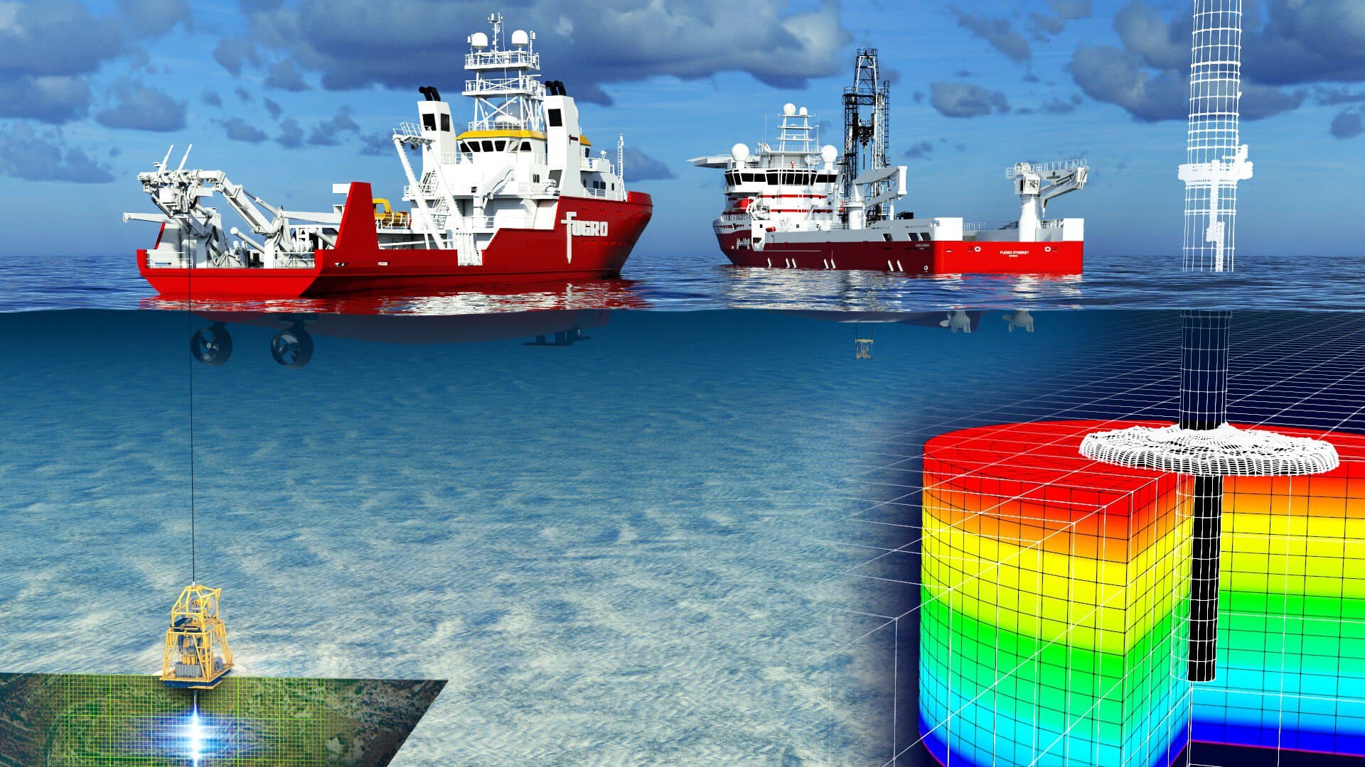
Foundation design for a modern wind farm can require up to 200 CPTs and around 30 TB of Geo-data.
Max Daarnhouwer sets out the innovations that compress that workload, with VirGeo® providing secure access, version control and automated ground modelling throughout the site investigation.
Let's Make Your Geo‑Data Work Smarter
Explore how VirGeo® supports secure delivery, enterprise governance, and long‑term data value; built on Fugro's domain expertise.
Book a demoFive Vessels for NordSee Energies 1
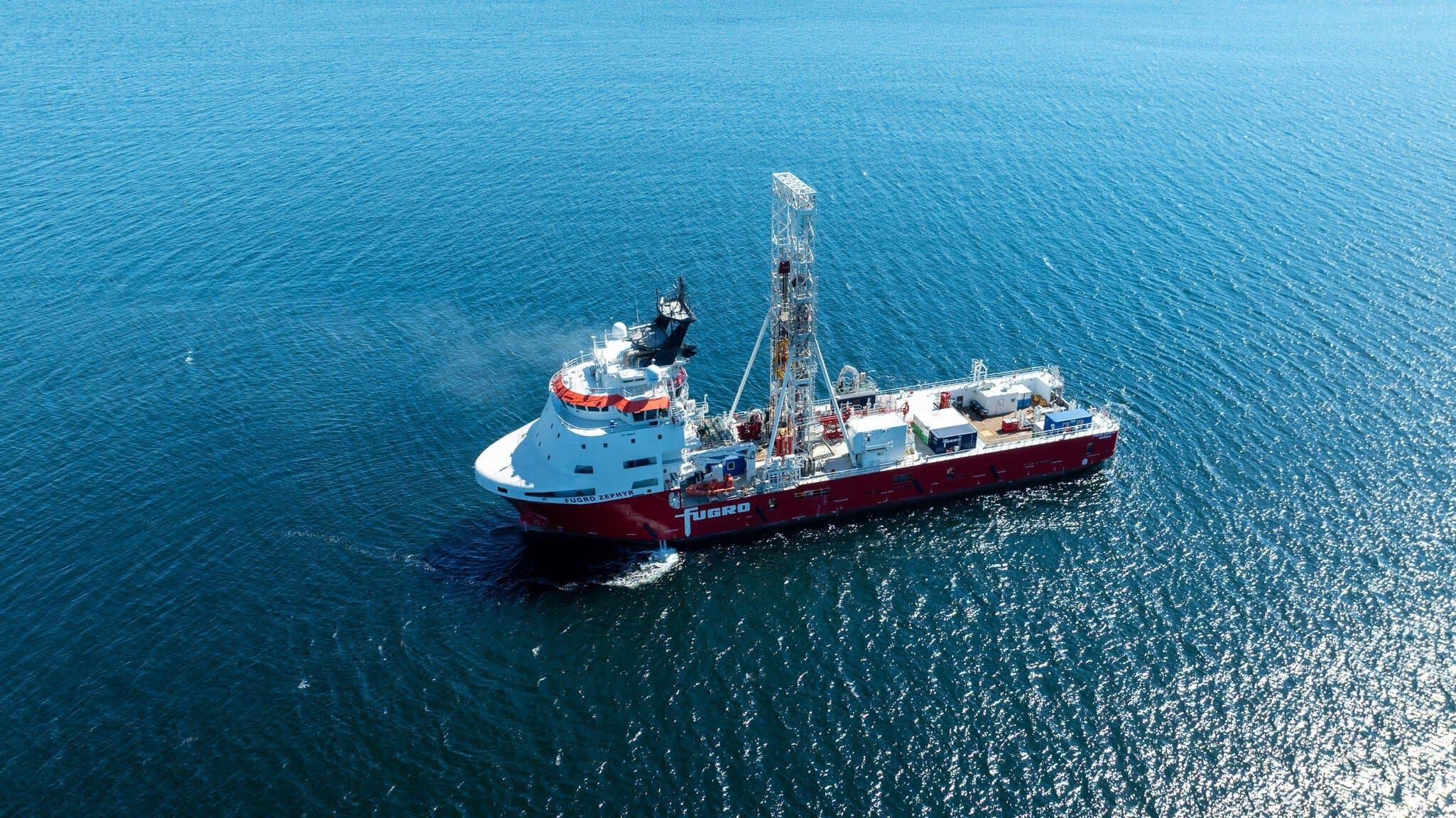
One of Fugro's largest offshore wind investigations in Europe: around 140 locations across 200 km², reaching 50 m below the seabed for TotalEnergies' 2 GW development.
The resulting Geo-data will be delivered through VirGeo® to inform foundation design and inter-array cable protection.
Land and Marine Investigations for TenneT's LanWin Projects
The LanWin1 and LanWin2 grid connections form part of TenneT Germany's 2 GW programme, built to carry clean power to up to 35 million households.
Geo-data from the land, nearshore and offshore investigations was delivered to TenneT through VirGeo®, guiding cable design, routing and installation planning.
A 7-Year Framework with EirGrid
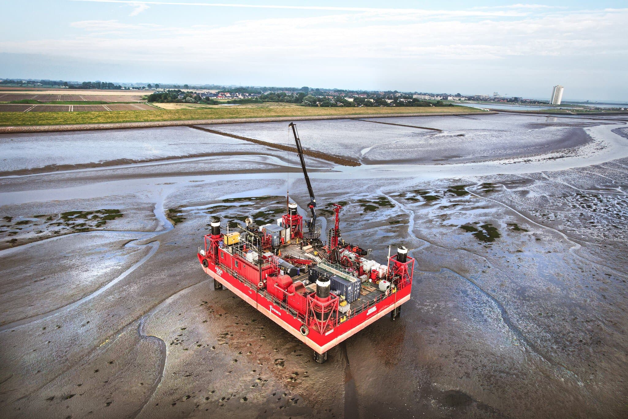
Fugro delivers desktop studies plus geophysical, environmental and geotechnical surveys for the offshore grid along Ireland's south coast.
Every dataset in the framework reaches EirGrid through VirGeo®, with secure access shared across stakeholders for the duration of the agreement.
Geotechnical Investigation in the New York Bight
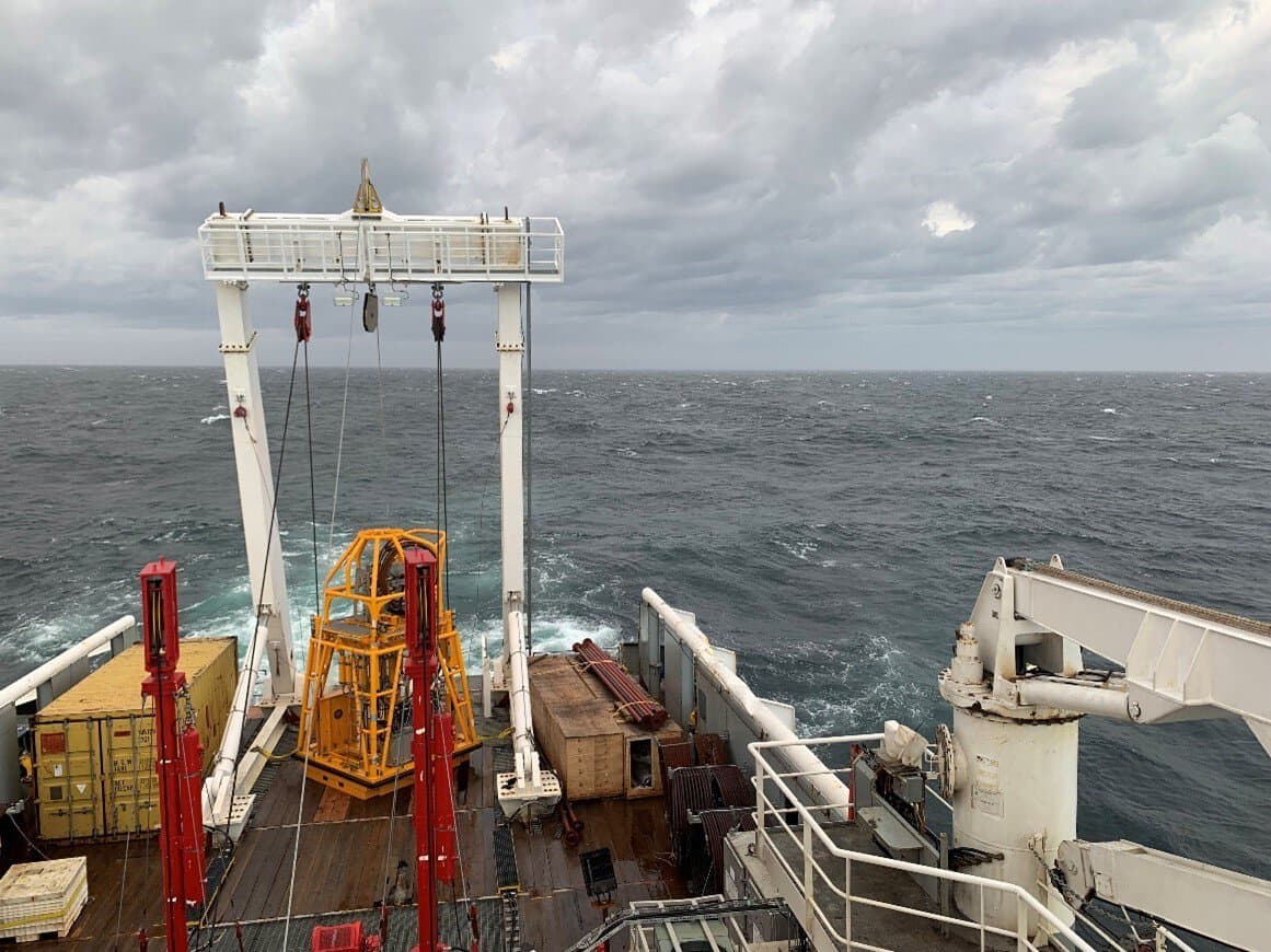
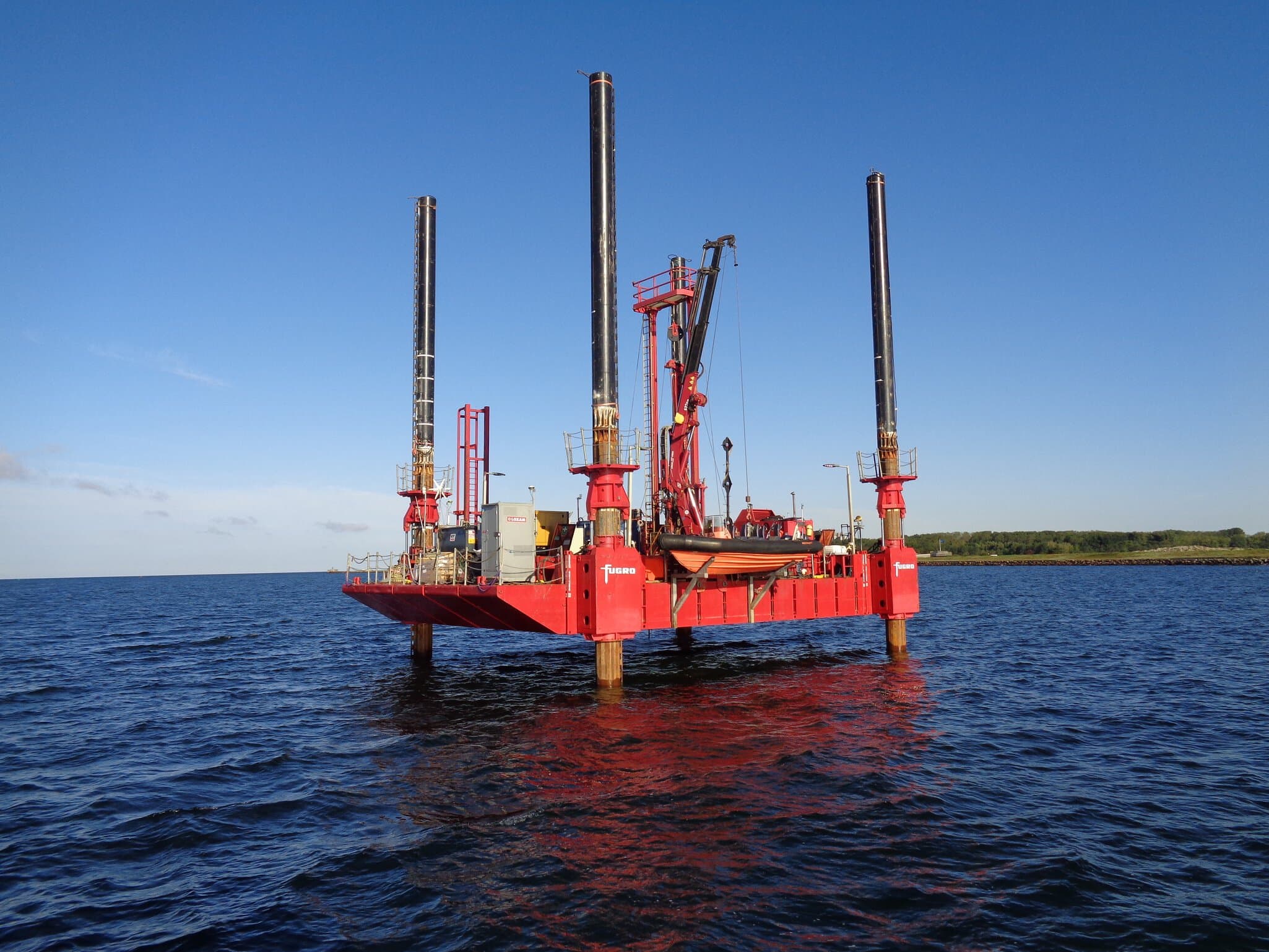
For Community Offshore Wind's 510 km² lease area, holding 3 GW of potential, two vessels refined the earth model through seabed sampling and cone penetration testing.
VirGeo® supported near real-time analysis of the incoming data for decisions in the field and office.
Site Investigations for RVO's Nederwiek Sites
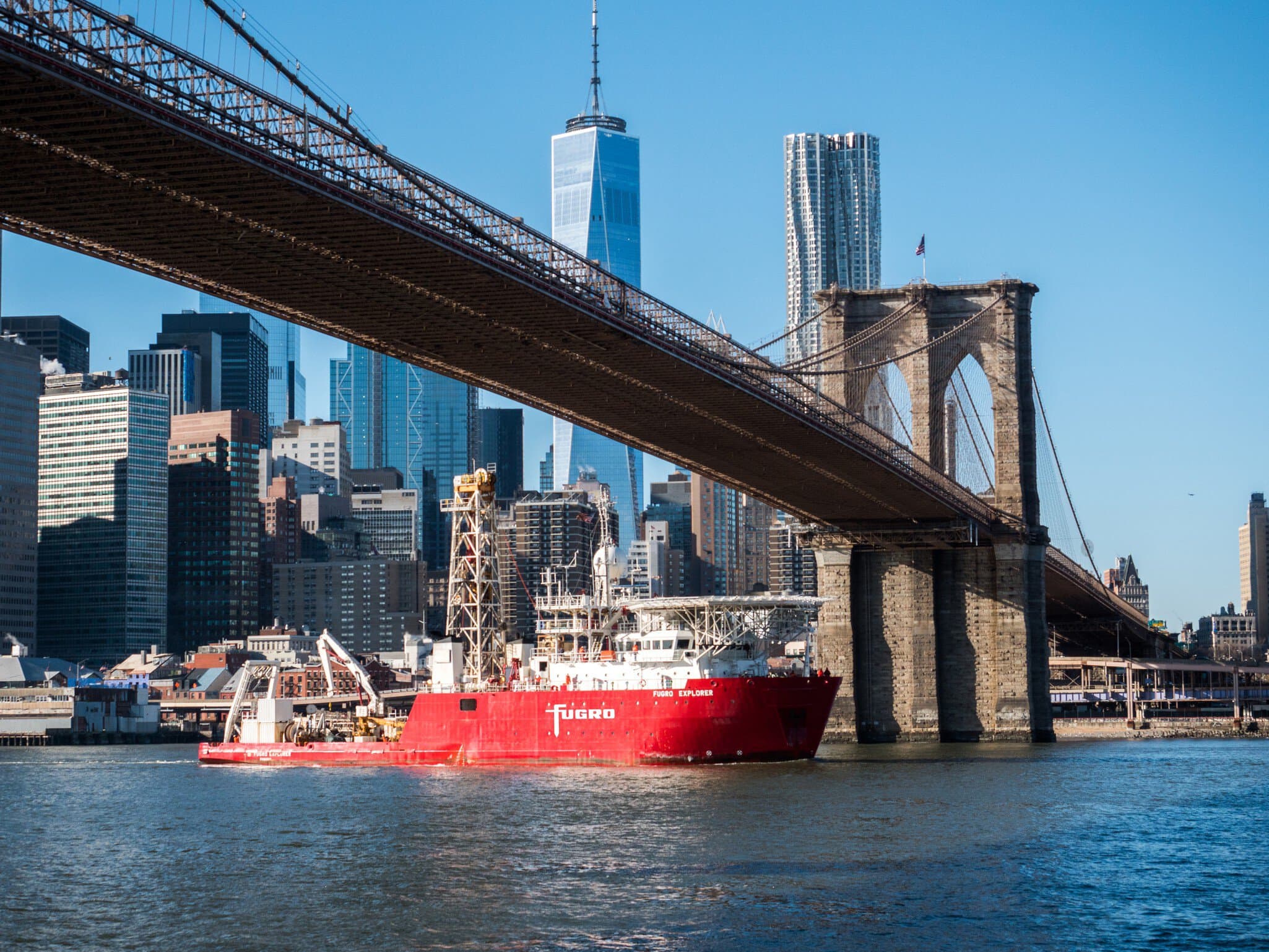
Two geotechnical contracts covering 600 km² of the Dutch North Sea fed the tenders for roughly 4 GW of offshore wind under the national Offshore Wind Energy Roadmap.
All Geo-data ran through VirGeo®, giving RVO and its consulting engineers near real-time deliverables as fieldwork progressed.
Fugro and Esri Partner on Climate Resilience
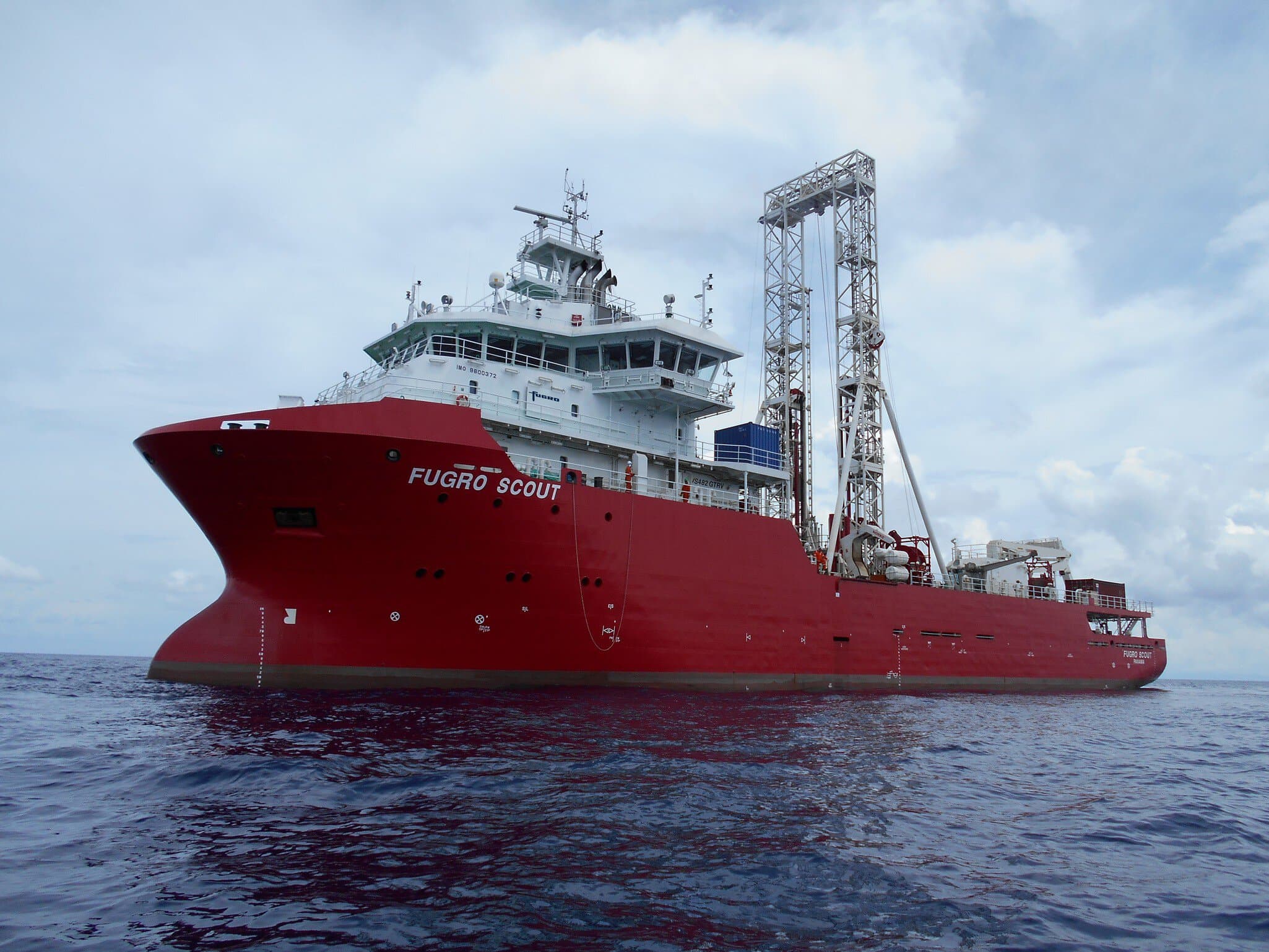
A strategic collaboration bringing Esri's GIS software together with Fugro's survey and Earth observation capabilities, starting with Small Island Developing States in the Caribbean.
VirGeo® serves as the core system for managing and analysing the Geo-data behind coastal resilience decisions.



Let's Make Your Geo‑Data Work Smarter
See VirGeo® in action and explore how it supports secure delivery, enterprise governance, and long‑term data value; built on Fugro's domain expertise.
Book a demo