Mission 2030
Empowering easy access, collaboration and action on geo-data through seamless workflows and meaningful insights.
Our Vision
VirGeo® becomes the industry standard for enterprise geo-data management — the single platform where organisations efficiently manage, and unlock the value of every piece of geo-data across their entire asset lifecycle.
We envision a world where geo-data is no longer fragmented across drives, emails, and legacy systems - but consolidated, continuously accessible, and transformed into actionable insights. VirGeo® empowers our clients to make accelerated, better-informed decisions from initial site screening through to decommissioning, backed by 60+ years of Fugro's unmatched domain expertise.
By 2030, VirGeo® will be the trusted geo-data backbone for the world's most critical infrastructure, energy, and coastal assets - delivering consolidation, compliance, collaboration, and continuity at enterprise scale.
Our Approach
Start with delivery. Scale to indispensability.
VirGeo® is Fugro's standard global platform for geo-data delivery, ensuring every client receives their data in a secure, structured, and immediately usable environment.
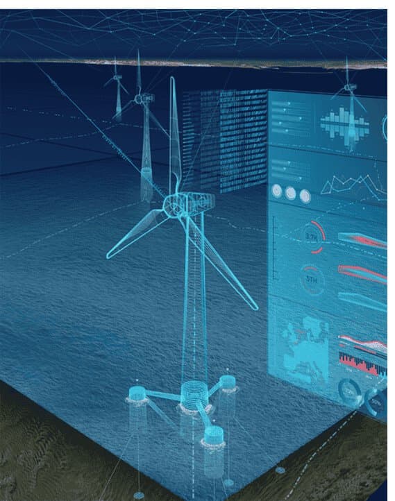
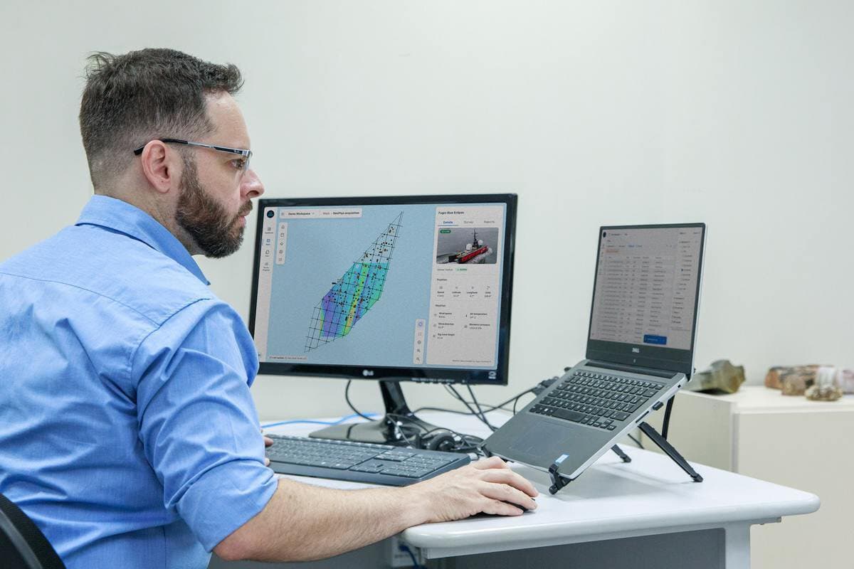
Through advanced visualisation, near-real-time operational dashboards, and AI-powered insights, we continuously expand the value clients derive from their data, creating lasting partnerships that extend far beyond individual projects.
For organisations managing their own geo-data, VirGeo® serves as a standalone enterprise platform: purpose-built for geo-data, spatial-first by design, and asset lifecycle-aware from day one. We replace fragmented storage and manual workflows with one governed workspace that scales across teams, vendors, and decades of data.
Why Fugro?
Fugro is uniquely positioned to deliver enterprise geo-data management software. With over 60 years of experience acquiring and managing geo-data across industries, we understand the formats, standards, and workflows that matter. Our global operations span offshore energy, infrastructure, coastal monitoring, and mining - giving us deep domain expertise.